Introduction to Maps in Folium and Python - Level 3 (QLS Endorsed)
QLS Endorsed + CPD QS Accredited - Dual Certification | Instant Access | 24/7 Tutor Support
Kingston Open College
Summary
- Certificate in Maps in Folium and Python at QLS Level 3 - £75
- Exam(s) / assessment(s) not included in price, and must be purchased separately
- Tutor is available to students
- TOTUM card available but not included in price What's this?
Add to basket or enquire
Overview
Becoming proficient in creating dynamic and educational maps with Folium and Python is essential in today’s data visualisation and analysis landscape. Our “Introduction to Maps in Folium and Python” is a world-recognised certification programme endorsed by QLS -The Quality Licence Scheme Awarding Body. This opens the global door for skilled people like you.
The Introduction to Maps in Folium and Python course empowers students to utilise interactive mapping for various applications by providing a fundamental understanding of geospatial data representation. Geographical insights into data analyses are a valuable tool in information-driven decision-making.
The course has been carefully designed to accommodate learners at an introductory and intermediate level. After reading through the extensive introduction, participants set out to learn the basics of making their very first Folium map. To reinforce the skills they have learned, the course concludes with sections on sharing and exporting maps, as well as practical experience with project source code and an assignment.
Explore the possibilities of geospatial data representation by starting this educational journey. In the age of data-driven decision-making, enhance your professional image by using data to speak loudly in the language of maps. Accompany us on this voyage and map your Introduction to Maps in Python and Folium course to become an expert mapper in the ever-changing data science industry!
Learning Outcome of the “Introduction to Maps in Folium and Python” Course:
- Get a firm foundation for using Folium and Python to create an interactive map
- Utilise markers to draw attention to specific locations on maps efficiently to improve the information's presentation and aesthetic appeal
- Learn how to create point and choropleth maps to represent and analyse spatial data in various ways
- Discover boundary measurement methods that will give a thorough grasp of the spatial dimensions of the data
- Gain expertise in layer creation and base map customisation to modify the visual context of maps to meet particular analytical requirements
- Develop expertise by becoming proficient in sophisticated spatial analysis methods
- Understanding the distribution of spatial data, and learning how to make heat maps
Why learn “Introduction to Maps in Folium and Python” with us?
As one of the leading e-learning service providers globally, we strive to provide all our learners with the best e-learning experience possible that can make a real difference in their career progression.
Our Service for the “Introduction to Maps in Folium and Python” Course:
- Intensive Study Notes
- Tutor Support
- Customer Support
- Teaching Assistant Assignment Help
- QLS Endorsed Teaching Assistant Certificate
- 24/7 Learning Portal Access
- Widely Compatible Teaching Assistant Study Materials
- 14 Days Refund Guarantee
Achievement
Certificates
Certificate in Maps in Folium and Python at QLS Level 3
Hard copy certificate - £75
CPD
Course media


Description
Course Curriculum of the “Introduction to Maps in Folium and Python” Course:
- Section 01: Introduction
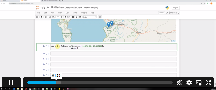
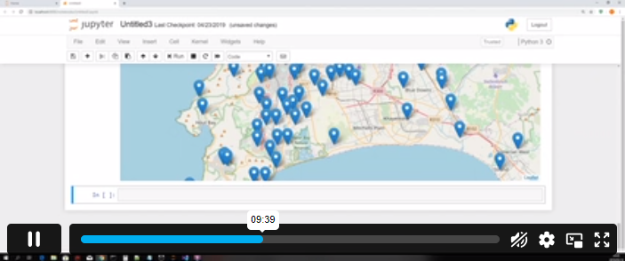
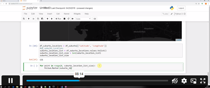
- Section 02: Creating your first folium map
- Section 03: Markers
- Section 04: Creating a Point Map
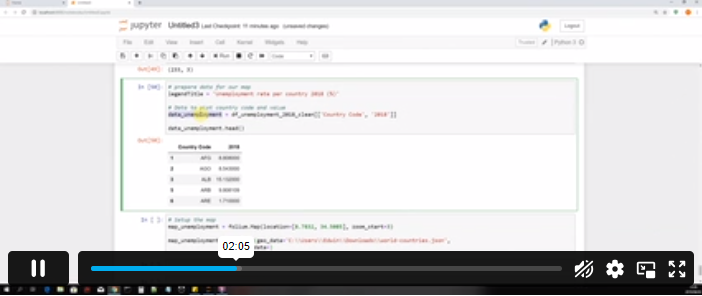
- Section 05: Creating a Choropleth Map
- Section 06: Measuring Boundaries
- Section 07: Creating Layers and BaseMaps
- Section 08: Creating a Heatmap
- Section 09: Sharing and Exporting Our Maps
- Section 10: Project Source Code
Assessment & Certification
Students must finish and turn in a thorough assignment covering all topics in our curriculum. Our expert tutor will review the assignment to ensure it meets Quality Learning Systems (QLS) standards. Once the assessment is successful and passes a quality check, students will be awarded a certificate for completing the Introduction to Maps in Folium and Python Course.
Endorsed Certificate of Achievement from the Quality Licence Scheme.
After the course, participants will receive an endorsed certificate as proof of successful completion. The learner may request a certificate if they complete all course assessments.
Endorsement:
QLS approves this certified course as a well-qualified, knowledge-based training programme. A trainer will be available to address your inquiries, including guidance on your pathways to higher education.
Who is this course for?
Whether you’re a beginner, an enthusiast, or an experienced professional, this “Introduction to Maps in Folium and Python” course provides valuable skills for individuals keen on exploring the dynamic world of data visualisation through interactive maps. This is also suitable for the following professionals:
- Data Scientists and Analysts
- GIS Professionals
- Researchers
- Developers
- Students and Academics
- Business Analysts
- Urban Planners and Architects
- Environmental Scientists
- Government Professionals
Requirements
No specific requirements exist for enrolling in the Introduction to Maps in Folium and Pythoncourse. Therefore, learners do not need previous qualifications to sign up for this course.
Career path
Get access to the “Introduction to Maps in Folium and Python” course and explore industry opportunities such as the following:
- Urban Planner. Salary Range: £25,000–£45,000 per year
- Environmental Scientist. Salary Range: £25,000–£45,000 per year
- Web Developer (with GIS skills). Salary Range: £25,000–£50,000 per year
- Government Policy Analyst. Salary Range: £30,000–£50,000 per year
Questions and answers
Currently there are no Q&As for this course. Be the first to ask a question.
Reviews
Currently there are no reviews for this course. Be the first to leave a review.
Add to basket or enquire
Course provided by
Legal information
This course is advertised on reed.co.uk by the Course Provider, whose terms and conditions apply. Purchases are made directly from the Course Provider, and as such, content and materials are supplied by the Course Provider directly. Reed is acting as agent and not reseller in relation to this course. Reed's only responsibility is to facilitate your payment for the course. It is your responsibility to review and agree to the Course Provider's terms and conditions and satisfy yourself as to the suitability of the course you intend to purchase. Reed will not have any responsibility for the content of the course and/or associated materials.