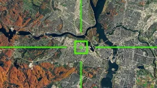
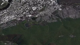
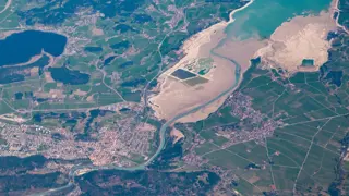
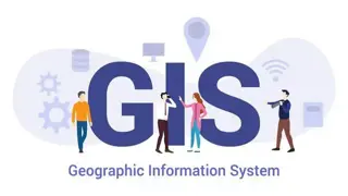
GIS Remote Sensing in ArcGIS
MAHABT
Learn From Industry Experts | Newly Updated | Free Certificate | No Hidden Fees | 24/7 support
- Online
- 0.8 hours · Self-paced
- Certificate(s) included
- Tutor support
Great service
...ArcGIS This GIS Remote Sensing in ArcGIS course is ideal for you to learn about GIS Remote Sensing in ArcGIS in detail. The broad GIS Remote Sensing in ArcGIS course covers all aspects of GIS Remote Sensing in ArcGIS , from GIS Remote Sensing in ArcGIS account to GIS Remote Sensing
…