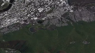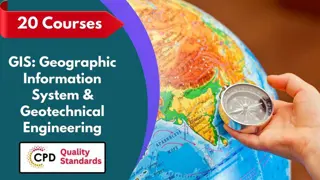
GIS Remote Sensing in ArcGIS: Comprehensive Techniques for Spatial Analysis
Course Line On Demand
Update on 2024 | CPD Certified | Free Digital Certificate | Free Exam | Lifetime Access | 24/7 Student Support.
- Online
- 0.8 hours · Self-paced
- Certificate(s) included
- Tutor support
Great service
...enhance their knowledge and skills in GIS. This course is suitable for: Beginners in GIS Professionals in GIS Students in GIS Career changers in GIS Requirements for the GIS Remote Sensing in ArcGIS: Comprehensive Techniques for Spatial Analysis course: No Prior Knowledge Required
…