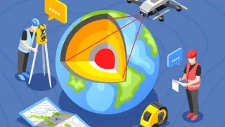
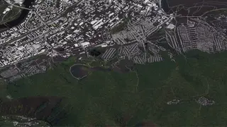
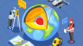
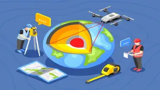
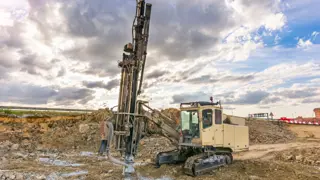
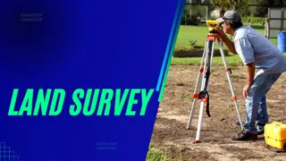
Understanding Geography, Geology & Archaeology
Training Express Ltd
5 Courses Bundle | 5 FREE Certificates | Free Retake Exam | Lifetime access
- Online
- 25 hours · Self-paced
- Certificate(s) included
- 50 CPD points
- Tutor support
Great service
...landscape and archaeological site? If so, then our captivating Understanding Geography, Geology & Archaeology course is tailor-made for you! Don't miss out on the chance to take on this extraordinary learning adventure. Enrol in our Understanding Geography, Geology & Archaeology
…